Monitoring Sites
MFCRWD staff perform flow gaging at several stream sites in the watershed. Flow gaging is an important aspect in the identification of trends and potential water quality issues. Water samples are collected from these sites and are analyzed for Total Phosphorus, Total Kjeldahl Nitrogen, and Total Suspended Solids. In addition to flow gaging and chemistry sample collection, MFCRWD staff use a YSI Sonde to measure pH, conductivity, temperature, and dissolved oxygen with each sample collection. The following three sites are actively surveyed each monitoring season:
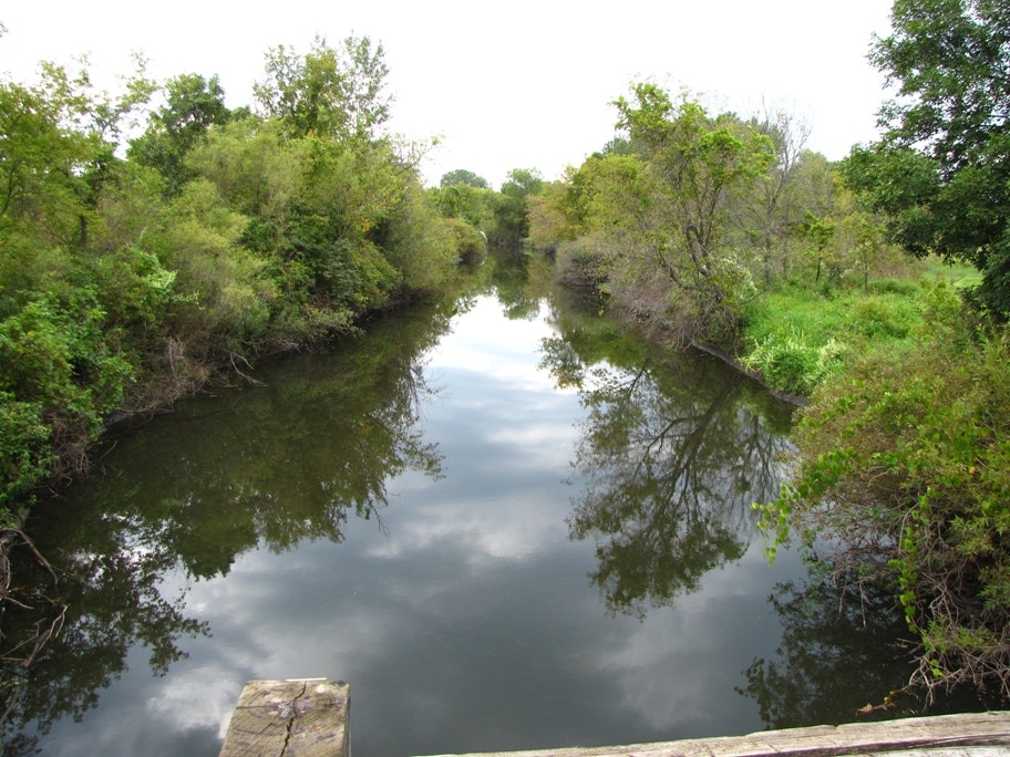
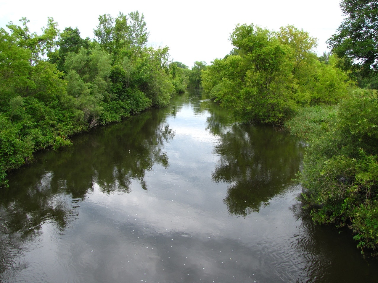
Station ID: MFC4
Description: Middle Fork Crow River at Old Town Hall Rd, Inlet to Nest Lake, 3 mi North-Northwest of Spicer, MN
Low Flow on 9/12/12. Staff gauge: 0.38 ft – Velocity: 0.29 ft/s – Discharge: 4.13 cubic ft/second
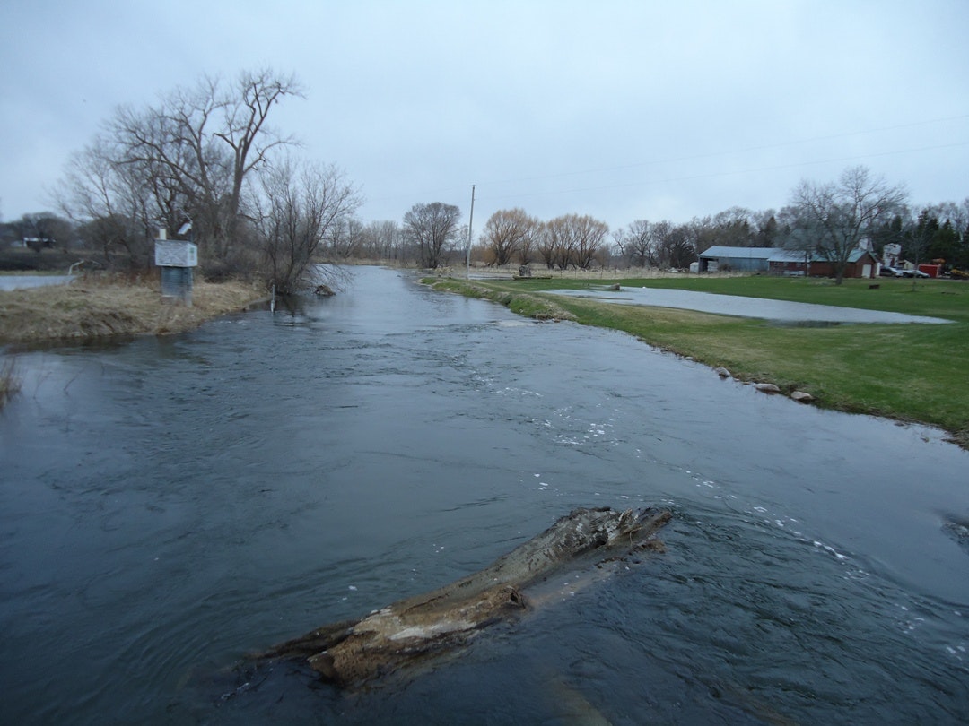
Flood Stage on 4/13/11. Staff gauge: 3.55 ft – Did not gage
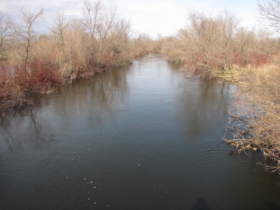
Station ID: CL3
Description: Middle Fork Crow River at County Road 2, East of Lake Calhoun

Normal Flow on 6/19/12. Staff gauge: 3.74 ft
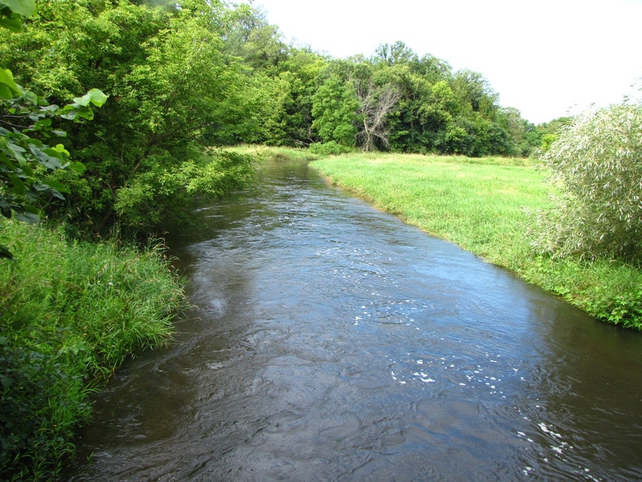
Station ID: Manannah
Description: Middle Fork Crow River at County Road 30, 1 mile South of Manannah